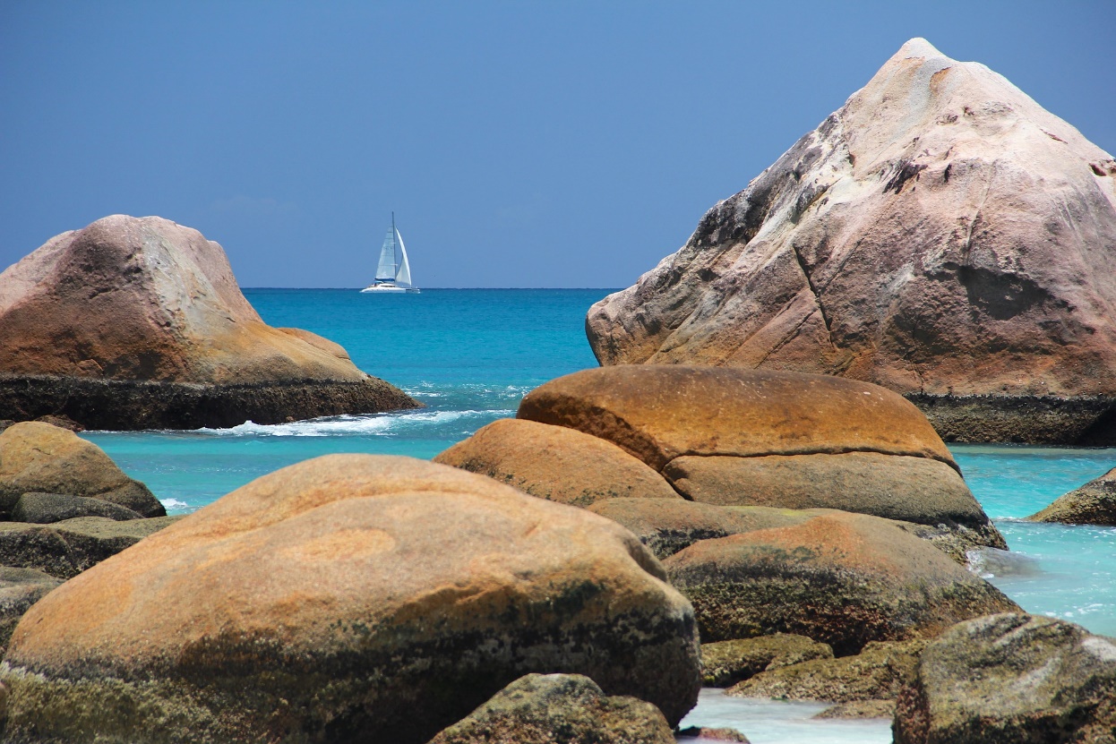
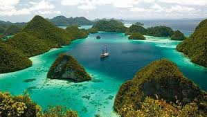
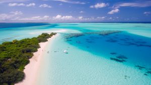
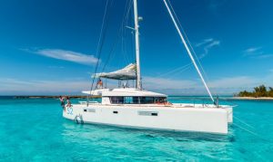
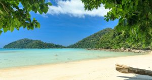
The Maldives boasts nearly 1200 sparkling islands each one is home to serene beaches and perhaps some of the best beaches in the world. The country has everything anyone could ever dream of in a tropical island, which attracts over a million tourists every year. With dazzling crystal-clear waters, fringed palm trees, vibrant coral reef filled with tropical fish, blue skies almost all year round, and friendly locals, it’s hard to find anything unlikable about this Indian Ocean paradise. There are plenty of things to do here: explore the spas to get a balanced mind, body, and spirit; try every kind of water sport from paddling around a lagoon to flying several meters above the water on a parasail; or try delicious and fresh seafood while admiring the ocean.
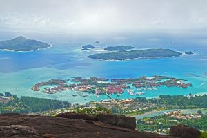
The first thing that comes to people’s minds when you mention the Maldives is a luxurious island paradise. It is, indeed, glamorous, every resort is built on its own private island which isolates you from the world. It’s the perfect place for honeymooners or anyone who wants to chill in heaven far away from chaotic cities. There are hundreds of resorts to choose, whether you want a private pool, personal butlers, or in-room massages, you can have it all here. You can pick any exclusive hotels you like and have the